Aerial photography has come a long way from hot air balloons and kites. With advances in drone and satellite technology, aerial imaging is changing the way we see the world. This new vantage point provides invaluable data across many industries while also allowing amateur photographers incredible new perspectives.
Agriculture
Farmers have embraced aerial imaging to better monitor crop health and growth. Drones equipped with multispectral sensors can capture invisible wavelengths that detect plant stress, nutrient deficiencies, diseases or pests before they become visible to the human eye. By identifying problems early, farmers can address issues promptly to maximize yields. Aerial footage also helps with planning irrigation systems and evaluating soil moisture levels across fields. Large-scale agricultural operations have partnered with drone services to conduct routine surveys for precision agriculture.
Satellite companies have similarly found applications in this industry. High resolution imagery allows monitoring of vast swaths of land for agricultural planning on a global scale. Services like crop mapping provide insights into planting and harvest cycles that benefit both farmers and commodity traders. The data gathered from hundreds of miles above aids in everything from protecting biodiversity to responding to natural disasters that impact food supplies.
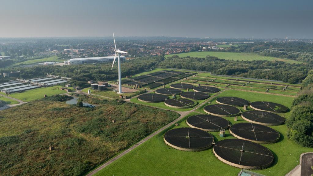
Infrastructure Inspection
A bird's eye view gives engineers assessing infrastructure like roads, bridges, power lines and pipelines an unobstructed look for signs of deterioration or needed repairs. Drones equipped with thermal sensors, high definition cameras and lightning detection help spot cracks, corrosion or other defects that traditional manual inspections may miss. They provide a safer, more efficient alternative to cranes or scaffolding for close visual assessments. Government agencies routinely deploy drones to monitor transportation networks, waste facilities and other public works projects thanks to the detailed aerial data collected. Utilities similarly rely on drones and satellite imagery for preventative maintenance of remote assets.
Real Estate
Real estate agents have long relied on Aerial Imaging in listing brochures to give prospective buyers a sense of a property's surroundings and layout. Drones now allow capturing high resolution landscapes, architectural details and virtual tours with ease. Developers can use aerial surveillance to plan and monitor construction progress without interfering with work sites. Insurance companies and assessors also leverage bird's-eye views for documentation and risk evaluation purposes. With regulations easing for commercial drone use, the real estate industry continues leveraging aerial imaging for new property marketing applications as well as land surveys and 3D modelling.
Public Safety
First responders have found aerial technology indispensable for search and rescue missions, crime scene documentation as well as emergency response and disaster management. Thermal cameras aboard drones locate victims in dangerous or difficult to access areas much faster than boots on the ground alone. Law enforcement agencies deploy drones to survey crime scenes, accident sites or protest situations from a high vantage point while avoiding safety risks. Search grids established through satellite monitoring of wide areas have proven instrumental in locating missing persons. During natural disasters and humanitarian crises around the world, aid organizations leverage aerial footage for relief coordination and damage assessment reports.
Conservation
Environmental groups champion aerial imaging to monitor protected wildlife habitats and fragile ecosystems. Drones equipped with optical and infrared sensors help researchers count animal populations, track animal migrations and observe species behaviors without disturbance. Regular surveys through aerial videos and photos detect early signs of deforestation, pollution threats or natural resource depletion. Conservation groups share such imagery on advocacy campaigns to raise awareness of pressing environmental issues. Non-profit satellites constantly photograph remote wilderness areas and track changes over time to protect biodiversity and inform land management policies.
Amateur Photography
Recreational drone pilots have taken aerial photography mainstream by sharing breathtaking videos and landscapes on social media. Beginner photographer drones with automated flight modes allow capturing beautiful scenic perspectives previously inaccessible without flying skills or certifications. Professional aerial cinematographers create dizzying hyperlapse videos and virtual tours for travel destinations looking to inspire wanderlust. Individual photographers can now document special events, monumental architecture or urban skylines from above as never seen before. Many amateur aerial cameras pack advanced stabilization, night flight capabilities and automatic tracking functions for buttery smooth footage even for casual operators. As regulations evolve to accommodate personal drones safely, aerial videography will only gain more enthusiasts capturing memories from new heights.
Aerial imaging undeniably enhances our view of the world while delivering tangible value across public, private and non-profit sectors. As technology miniaturizes payloads to ever smaller drones, the applications will continue expanding limitlessly. With improved battery capacities, satellites and drones could one day provide constant monitoring of our planet to benefit all humanity through a bird's-eye perspective. While regulatory frameworks work to manage commercial operations responsibly, aerial imaging promises exciting photographic possibilities for professionals and amateurs alike looking at the bigger picture from new aerial vantage points.
Get More Insights On This Topic: Aerial Imaging